Lifestyle
The Ocala National Forest
Most counties have parks. Marion County has a national forest with hundreds of lakes in it, and it is the single biggest reason people who move here stay.
Bottom line
- Signed into existence by Theodore Roosevelt in 1908, the third national forest east of the Mississippi, and it occupies a large part of eastern Marion County.
- The Forest Service counts more than 600 lakes and rivers in it. The springs run at a constant temperature year round, which is the practical point: cold in August, warm in January.
- It also shapes the county. A large protected block on the east side means the growth goes west, which is why the growth corridor is where it is.
A lot of places claim natural beauty on the way to selling you a house. Marion County has a national forest in it, signed into existence by Theodore Roosevelt in 1908, the third one created east of the Mississippi. It is not a marketing point. It is a large block of federal land that has been there for more than a century and is not going anywhere.
What it actually is
The forest occupies a large part of eastern Marion County and extends into neighbouring counties, sitting between the Ocklawaha and St Johns river systems.
Its character surprises people who expect Florida swamp. Much of it is sand pine scrub — dry, sandy, open, with a low canopy and a great deal of light. It is one of the largest sand pine scrub forests anywhere, and it is a genuinely distinctive landscape rather than a generic woodland.
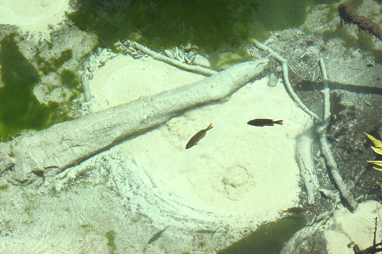
Cut through that dry scrub are the springs, which is where the water is. The Forest Service counts more than 600 lakes and rivers within the forest.
The springs, and why they matter more than they sound
The springs rise from the Floridan aquifer through limestone, and the consequence of that is the single most useful fact about outdoor life here: the water runs at a near-constant temperature all year.
In August, when the air is at its worst, the spring is cold. In January, when the air is cool, the same spring is comparatively warm. It does not care what season it is.
That is the difference between a place with swimming in it and a place with swimming in it for eight months of the year, and it is a large part of why people who move to Marion County and expected to drive to the coast every other weekend end up at a spring instead. It is twenty minutes away rather than ninety, it is cooler, and it is quieter. Beaches within reach of Ocala covers the salt-water alternative honestly.
What people do there
- Swimming, at the developed recreation areas that provide access.
- Paddling. Canoe and kayak runs on the spring runs and the connected waters, some of them among the better-known paddles in Florida.
- Camping, in developed campgrounds with facilities and in dispersed sites for people who want none.
- Hiking, including a long section of the Florida National Scenic Trail, which runs through the forest.
- Fishing, across a very large number of lakes.
- Off-highway vehicle riding on designated trail systems, under permit.
- Hunting in season, under state regulation.
Fees, permits, seasons, hours and closures all change, and this article is the wrong place to learn them. The USDA Forest Service publishes current conditions and requirements for each area, and the Lake George Ranger District office on State Road 40 at Silver Springs is the local one.
What it means for living here
Two things, and the second one is not obvious.
The first is the obvious one. If you like being outdoors, this is a very large amount of it, permanently protected, twenty to forty minutes from most of the county's population. Very few counties of 442,660 people have anything comparable on their doorstep.
The second is about where the houses are. A large, permanently protected block on the eastern side of the county means development cannot go that way. Marion County's growth — 17.8 percent between 2020 and 2025 — has therefore gone west and south instead, which is exactly why the State Road 200 corridor is the growth axis and why the eastern part of the county remains rural and sparsely built.
If you are choosing where in Marion County to live, that is a structural fact worth knowing: the east side is quiet because it is bounded by something that will not be built on, and the west side is busy because that is where the room is.
Practical notes for newcomers
It is dry scrub, not shade. A summer afternoon in the sand pine is hot and exposed. Do things early or late, and take more water than you think.
Wildlife is real. Black bears live in this forest in genuine numbers, and the Florida Fish and Wildlife Conservation Commission publishes guidance on food storage and on what to do if you meet one. It is a management question rather than a danger, and it is a real management question.
Phone coverage is patchy, which is part of the appeal and is worth planning around.
Check before you go. Closures for fire management, hurricane damage, water quality or capacity are ordinary here. The Forest Service's alerts page is the place, and checking takes a minute.
It is a working forest. Timber management, prescribed burning and hunting all happen in it. Prescribed fire in particular can close areas at short notice and is how the ecosystem is kept healthy — sand pine scrub is a fire-adapted landscape and the burning is the management rather than a failure of it.
Sources
- USDA Forest Service — Ocala National Forest — signed into existence by President Theodore Roosevelt in 1908, the third national forest east of the Mississippi; more than 600 lakes and rivers; recreation information, and the Lake George Ranger District on State Road 40 at Silver Springs (retrieved September 18, 2026)
- USDA Forest Service — National Forests in Florida — the managing unit; alerts, closures and current conditions (retrieved September 18, 2026)
- USDA Forest Service — Visitor maps and guides, National Forests in Florida — official maps for the forest, including recreation areas and trails (retrieved September 18, 2026)
- Florida State Parks — the state parks adjoining and near the forest, including the spring parks in and near Marion County (retrieved September 18, 2026)
- Florida Department of Environmental Protection — Florida Geological Survey — the karst geology and aquifer that produce the springs (retrieved September 18, 2026)
- U.S. Census Bureau QuickFacts — Marion County, Florida — 1,588.42 square miles of land area at 236.7 people per square mile, 2020 — the density a large protected block contributes to (retrieved September 18, 2026)
Common questions
Where is the Ocala National Forest?
It occupies a large part of eastern Marion County and extends into neighbouring counties, between the Ocklawaha and St Johns river systems. From Ocala you reach it by heading east, and the Lake George Ranger District office is on State Road 40 at Silver Springs. The USDA Forest Service is the authority on access, closures and current conditions.
What is there to do in the Ocala National Forest?
Swimming in spring-fed water, canoeing and kayaking, camping in developed campgrounds and dispersed sites, hiking including a long section of the Florida National Scenic Trail, fishing across a great many lakes, off-highway vehicle riding on designated trails with a permit, and hunting in season under state regulation. The Forest Service publishes what is open and what each area requires.
Can you swim in the springs?
Yes, at the developed recreation areas that provide swimming access, and that is most of why people go. Spring-fed water holds a near-constant temperature year round, so it is genuinely cold on an August afternoon and comparatively warm in January. Fees, hours and capacity limits apply and change, so check the Forest Service's current information rather than an article.
How old is the Ocala National Forest?
President Theodore Roosevelt signed it into existence in 1908, making it the third national forest east of the Mississippi. That is why a very large part of eastern Marion County has never been developed and never will be.
Does the forest affect where people live in Marion County?
Substantially, and it is worth understanding if you are choosing where to buy. A large permanently protected block on the eastern side means the county's growth has gone west and south instead. That is part of why the State Road 200 corridor on the south-west side is the growth axis and why the east of the county stays rural.